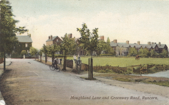
The Moughland Lane and Greenway Road junction in 1908 and today

Looking along Moughland Lane towards its "T" junction with Greenway Road. At this junction, the left-hand road went to Highlands Road and the remainder of Higher Runcorn and the right-hand road, past the houses, went towards Runcorn itself. Although the very end of the road seems hardly changed at all from the pictures, the field and the horse has long gone, houses and a Memorial Garden now occupy this land, and the small pond has also gone. It is occupied by a house and the entrance to the Runcorn Sports Club.
(Place your mouse on/off the picture to see the before/now scenes).

Although the card was sent through the post, there was no message on it.